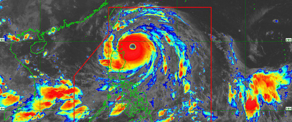

THE state weather bureau PAGASA raised Tropical Cyclone Wind Signal (TCWS) No. 5 in several areas today, September 22, as Super Typhoon Nando continues to maintain its strength while heading toward the Babuyan Islands.
Authorities are urging the public to prepare for the powerful winds, rains, and potential impacts of Super Typhoon Nando, whose eye was last spotted approximately 245 kilometers east of Calayan, Cagayan.
Forecasts indicate that Nando may either maintain its current intensity or further strengthen before nearing the Babuyan Islands, with a possible close approach or landfall expected between noon and early afternoon today.
A life-threatening storm surge, with peak heights of over 3.0 meters, is likely within the next 24 hours in low-lying or exposed coastal areas of Batanes, Cagayan including Babuyan Islands, as well as Ilocos Norte and Ilocos Sur.
Signal Numbers
Currently, TCWS No. 5 is in effect over the northern part of Babuyan Islands, particularly in Babuyan Island, Didicas Island, Panuitan Island, and Calayan Island. These areas can expect extremely destructive winds exceeding 185 km/h for at least 12 hours.
Signal No. 4 has been issued for the southern portion of Batanes, the remaining areas of Babuyan Islands, and the northeastern part of mainland Cagayan.
Meanwhile, Signal No. 3 is raised in the rest of Batanes, the northern and central parts of mainland Cagayan, as well as the same sections of Apayao and Ilocos Norte.
Areas under Signal No. 2 include the rest of Cagayan, Isabela, the remaining parts of Apayao, Abra, Kalinga, Mountain Province, Ifugao, the northern section of Benguet, northeastern Nueva Vizcaya, the rest of Ilocos Norte, Ilocos Sur, and northern La Union.
Signal No. 1 remains hoisted in Quirino, the rest of Nueva Vizcaya, remaining parts of Benguet and La Union, Pangasinan, Aurora, Nueva Ecija, Bulacan, Tarlac, Pampanga, Zambales, and northern Quezon including the Polillo Islands.
Though not placed under any wind signal, Metro Manila residents are still expected to experience strong to gale-force gusts brought about by the southwest monsoon and the outer bands of Super Typhoon Nando.
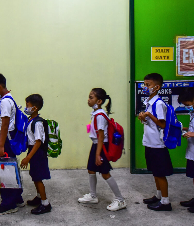
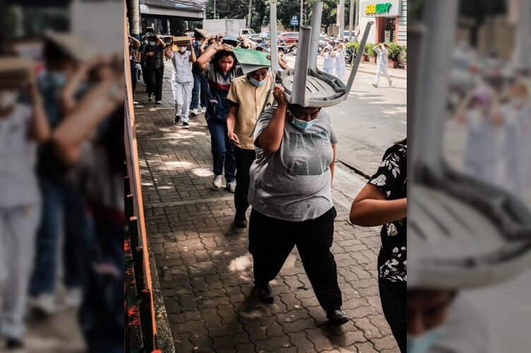
Walang Pasok
On Sunday, Malacañang announced the suspension of classes in all levels and government work in Metro Manila and 29 other provinces today due to the threat posed by Nando and the intensified southwest monsoon.
The suspension order applies to the following areas:
• Metro Manila
• Abra
• Antique
• Apayao
• Bataan
• Batanes
• Batangas
• Benguet
• Bulacan
• Cagayan
• Cavite
• Ifugao
• Ilocos Norte
• Ilocos Sur
• Isabela
• Kalinga
• La Union
• Laguna
• Mountain Province
• Nueva Ecija
• Nueva Vizcaya
• Occidental Mindoro
• Oriental Mindoro
• Pampanga
• Pangasinan
• Palawan
• Romblon
• Rizal
• Tarlac
• Zambales
Meanwhile, based on PAGASA’s latest forecast, Super Typhoon Nando is expected to exit the Philippine Area of Responsibility (PAR) by tomorrow morning, September 23.
However, a low pressure area located around 1,500 kilometers east of Mindanao currently has a moderate chance of developing into a tropical cyclone within the next 24 hours. It may enter the PAR by Wednesday and will be given the local name Opong.
How useful was this post?
Click on a star to rate it!
Average rating 5 / 5. Vote count: 2
No votes so far! Be the first to rate this post.
We are sorry that this post was not useful for you!
Let us improve this post!
Tell us how we can improve this post?