
DESPITE the fact that Pepito has been downgraded from super typhoon to typhoon classification and is slowing down, heavy rains are still expected in areas of Luzon as it goes out of the country on Monday (November 18).
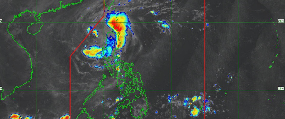
Pepito, which caused widespread havoc across Luzon over the weekend, is presently moving steadily towards the West Philippine Sea, having been spotted 145 kilometers west of Sinait, Ilocos Sur.
According to the state weather bureau PAGASA’s most recent weather bulletin this morning, the typhoon is still packing maximum sustained winds of 130 kilometers per hour and gusts up to 160 km/h.
In addition, low-lying or exposed coastal areas in the Ilocos Region, Isabela, and Central Luzon face a moderate to high danger of storm surge in the coming 48 hours.
While moderate to heavy rains may still cause flooding and landslides in Ilocos Sur, Pangasinan, Benguet, Zambales, Cagayan, Aurora, Tarlac, Nueva Ecija, Batanes, and Isabela.
Signal Numbers
Despite being downgraded to typhoon level, Tropical Cyclone Wind Signal No. 3 is still up in northern and western portions of Ilocos Sur, the northwestern portion of La Union, and the western portion of Abra.
Signal No. 2 is hoisted in Ilocos Norte, the rest of Ilocos Sur, the rest of La Union, Pangasinan, the rest of Abra, the western portion of Mountain Province, Benguet, and the northern portion of Zambales.
While Signal No. 1 are Apayao, Kalinga, the rest of Mountain Province, Ifugao, the western portion of Cagayan, Nueva Vizcaya, the northern and central portions of Nueva Ecija, Tarlac, and the central portion of Zambales
Latest forecast
According to Agence France-Presse (AFP), Pepito made its first landfall on Catanduanes, part of the typhoon-prone Bicol area, on Saturday, uprooting trees, downing power lines, and destroying homes.
On a good note, AFP reported that no one died throughout the super typhoon period, although there was “extensive” damage to structures on Catanduanes, according to civil defense head Ariel Nepomuceno.
Super typhoon Pepito was the sixth typhoon in a month to hit the archipelago nation. Climate change is undoubtedly to blame, as it intensifies storms, resulting in greater rains, flash floods, and stronger gusts.
However, PAGASA stated that Pepito will now move northwest to west northwest over the West Philippine Sea today, exiting the Philippine Area of Responsibility (PAR) zone this morning or midday.
Outside the PAR region, the tropical cyclone will turn more westward or west southwestward tomorrow (Nov. 19) as a result of an impending northeasterly wind surge.
Pepito will weaken further as it travels over the West Philippine Sea. This tropical cyclone could become a residual low by Wednesday (Nov. 20) late evening or Thursday (Nov. 21) early morning.
More weather updates from r
- Ofel now a typhoon, as Pepito enters PAR on Thursday
- Weekend chillout with these 5 sit-com series
- New exhibit gives glimpse of workers’ lives during Martial Law
- MTRCB junks ‘It’s Showtime’ suspension appeal
- Maria Clara and Ibarra, Daniel Padilla, Vice Ganda to be honored at 5th Gawad Lasallianeta ZEAL Awards
How useful was this post?
Click on a star to rate it!
Average rating 0 / 5. Vote count: 0
No votes so far! Be the first to rate this post.
We are sorry that this post was not useful for you!
Let us improve this post!
Tell us how we can improve this post?