THE Philippine Atmospheric, Geophysical and Astronomical Services Administration (PAGASA) said Typhoon Egay is expected to cause heavy rainfall in most parts of Luzon until Thursday, July 27.
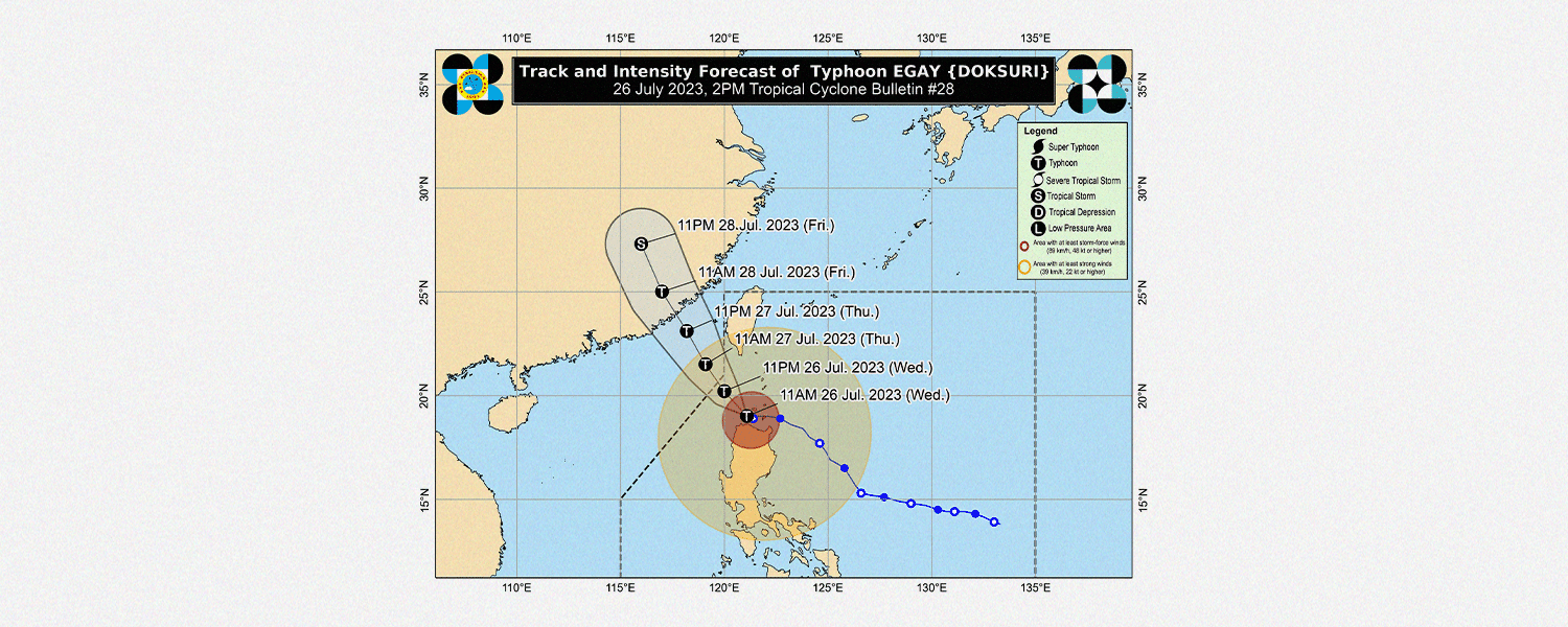
The weather bureau said Egay continues to maintain its strength while moving northwestward at 10 km/h, based on its 5 p.m. forecast.
It has maximum sustained winds of 175 km/h near the center and gustiness of up to 240 km/h.
Enhanced by Egay, the Southwest Monsoon (Habagat) will continue to bring occasional monsoon rains over the western portions of Central Luzon, Southern Luzon, and Visayas in the next three days.
With this, the Habagat strengthened by Egay is expected to bring gusty conditions over Luzon and western Visayas areas, particularly in coastal and upland or mountainous areas exposed to winds.
Meanwhile, PAGASA said that violent, life-threatening conditions would continue over Babuyan Islands, the northwestern portion of mainland Cagayan, and the northern portions of Apayao and Ilocos Norte in the next 6 hours from the time of this posting.
Forecast rainfall is anticipated to be higher in elevated or mountainous areas. Flooding, rain-induced landslides, and other hazards are likely to occur.
As of 5 p.m., PAGASA hoisted Signal No. 4 over the following areas:
- the northwestern portion of Cagayan (Claveria, Sanchez-Mira, Pamplona, Abulug, Ballesteros, Santa Praxedes)
- Babuyan Islands and the northern portion of Ilocos Norte (Burgos, Bangui, Dumalneg, Pagudpud, Adams)
Further, Signal No. 3 was raised over the following provinces:
- Batanes
- Northern and central portions of Cagayan (Gattaran, Lal-Lo, Alcala, Allacapan, Lasam, Baggao, Amulung, Rizal, Santo Niño, Piat, Santa Ana, Gonzaga, Santa Teresita, Buguey, Camalaniugan, Aparri)
- The rest of Ilocos Norte
- Apayao
- The northern portion of Abra (Tineg, Lagayan, Lacub, Danglas, San Juan)
- The northern portion of Ilocos Sur (Cabugao, Sinait)
The areas under Signal No. 2 are as follows:
- Kalinga
- Mountain Province
- Ifugao
- Isabela
- The rest of Cagayan
- The rest of Ilocos Sur
- The rest of Abra
- The northern and central portions of La Union (Luna, Caba, Santol, Bauang, City of San Fernando, San Juan, Bagulin, Bangar, San Gabriel, Burgos, Naguilian, Bacnotan, Sudipen, Balaoan, Aringay)
- The northern and central portions of Benguet (Mankayan, Kapangan, Atok, Kabayan, Kibungan, La Trinidad, Sablan, Bakun, Buguias, Tublay, Bokod)
Meanwhile, PAGASA declared Signal No. 1 in these areas:
- Quirino
- Nueva Vizcaya
- Aurora
- Pangasinan
- Nueva Ecija
- Tarlac
- Zambales
- Bataan
- Bulacan
- Pampanga
- Metro Manila
- Cavite
- Rizal
- Laguna
- The rest of La Union
- The rest of Benguet
- The northern portion of Quezon (Infanta, General Nakar, Real, Lucban, Sampaloc, Mauban) including Pollilo Islands
Gale warning is also in effect over several coastal waters along the seaboards of Luzon and Visayas, said PAGASA.
Sea travel is risky for most vessels in rough to high or very high seas.
It is also dangerous for small seacrafts to travel in rough to very rough seas. Those operating larger vessels in gale conditions require experience and properly equipped vessels for safe sea travels.
The weather bureau advised all mariners to remain in port or seek safe harbor until winds and waves subside.
Egay is expected to exit the Philippine Area of Responsibility (PAR) Thursday morning.