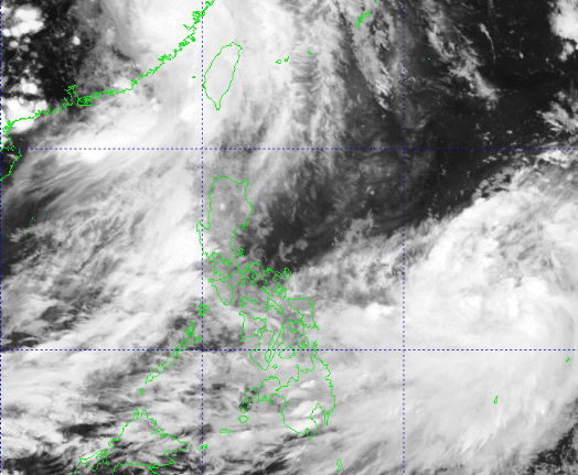
Tropical Storm Khanun may enter the Philippine Area of Responsibility (PAR) between late Saturday and early Sunday, the state weather bureau PAGASA said Friday.
It will be given the local name Falcon once inside the PAR.
At 3 p.m., the center of Khanun was located 1,365 kilometers east of Southern Luzon, with maximum sustained winds of 65 kilometers per hour near the center and gustiness of up to 80 km/h.
It was moving westward at 15 km/h.
”The hoisting of wind signals over any portion of the country due to this tropical cyclone is unlikely,” PAGASA said in its 11 a.m. bulletin.
Khanun may enhance the Southwest Monsoon (Habagat), which will trigger occasional or monsoon rains over the western portions of Luzon and Visayas beginning Saturday or Sunday.
”However, the magnitude, extent, and timing of monsoon enhancement and resulting rainfall may still change due to the dependence of Southwest Monsoon enhancement on the intensity and movement of this tropical cyclone,” PAGASA said.


