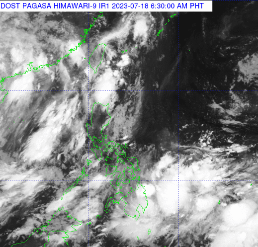
The state weather bureau PAGASA said on Tuesday that the low pressure area outside Mindanao may develop into a tropical cyclone in the next 24 hours.
At 3 a.m., the LPA was spotted 810 kilometers east of northeastern Mindanao. Should it develop into a tropical depression, it will be given the local name Egay.
”Ayon sa ating latest analysis, itong LPA na ito ay may posibilidad na ma-develop at maging isang bagyo within 24 hours at nakikita natin na posible itong kumilos pa-northwestward at maaari itong lumapit dito sa area ng northern Luzon sa mga susunod na araw,” weather specialist Grace Castañeda said in a report posted on PAGASA’s Facebook page.
”Meron pa rin pong posibilidad na magbago ang ating scenario dito sa LPA na ito, so continuous monitoring po tayo at patuloy na mag-antabay sa updates na ipapalabas ng PAGASA,” she added.
The LPA’s trough will bring cloudy skies with scattered rain showers and thunderstorms to Caraga and the Davao Region, PAGASA said in its 4 a.m. weather forecast.
Cloudy skies with scattered rain showers and thunderstorms will be experienced in Zambales and Bataan due to the southwest monsoon (Habagat).
Metro Manila and the rest of the country will have partly cloudy to cloudy skies with isolated rain showers or thunderstorms because of the southwest monsoon and localized thunderstorms.