The Tropical Storm “Rosal” has dissolved into a low-pressure area and will no longer affect the Philippines, state weather forecasting agency Pagasa said.
“Generally, fair weather po ang mararanasan sa malaking bahagi ng ating kapuluan,” Obet Badrina, weather specialist said. “Pero tuloy pa rin ang mga isolated, pulo-pulong pag-ulan, pagkulog at pagkidlat.”
Batanes and Cagayan will likely experience rains. Light rains will shower Ilocos Region and Cordillera region brought by Northeast Monsoon.
Meanwhile, Baguio City is getting a bit cooler now. The expected temperature dip for today is 15°C. Malaybalay, Bukidnon also registered its lowest temperature at 19°C yesterday around 5 am.
Despite the weather being generally fair in the land areas, Pagasa said it is still bad news for our fisher folks near northern Luzon and eastern seaboard of Central Luzon as coastal waters are still rough.
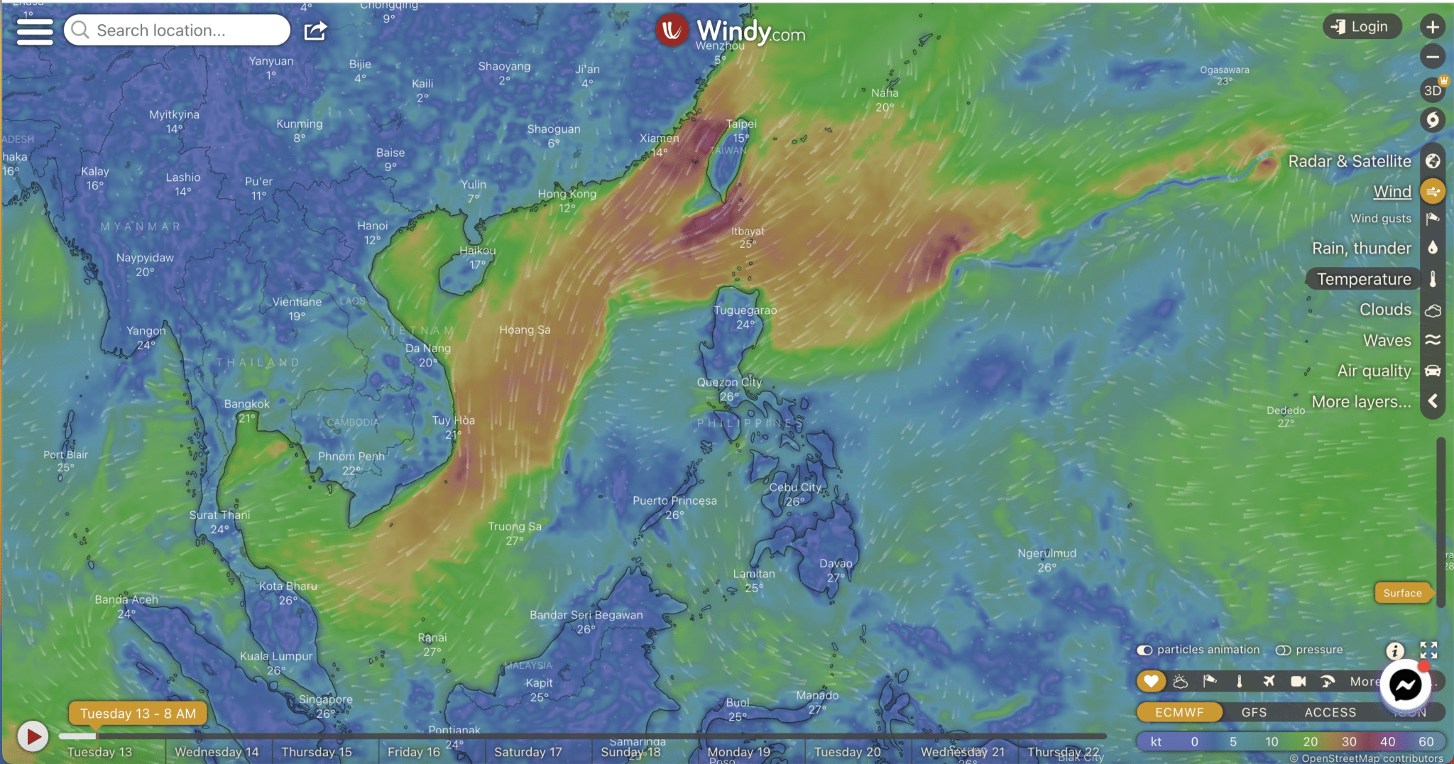
LPA and outlook
Satellite images show the LPA is already located outside the Philippine Area of Responsibility (PAR), some 1,020 kilometers east of extreme Northern Luzon.
“The post-tropical low is too far to directly affect the weather condition in the country,” Pagasa said in its 5 am weather bulletin. “This post-tropical low is forecast to dissipate within 24 hours due to the unfavorable conditions brought about by the surge of the Northeast Monsoon.”
Badrina said they are not expecting that there will be another LPA or typhoon coming this week.
He immediately cautioned though against pinning hopes for typhoon-free Christmas week as there is a good chance that the Philippines will have another typhoon this month. Historical records show an average of two typhoons enter PAR every December.
Gale warning
Hanging amihan or the Northeast Monsoon continues to bring strong to gale force winds over northern Luzon. So, a gale warning is still up in the seaboards in the following provinces of northern and central Luzon:
Batanes
Ilocos Norte
Ilocos Sur
La Union
Pangasinan
Cagayan including Babuyan Islands
Isabela
Sea conditions will likely be rough to very rough, Pagasa warned. Waves in Isabela could go up as high as 4 meters; while in the rest of the northern Luzon, waves could be as high as 5 meters or equivalent to a one-story building
“Fishing boats and other small seacraft are advised not to venture out into the sea while larger sea vessels are alerted against big waves,” Pagasa said.

Visayas dayalekto
Ang tibuok bahin sa Visayas, Palawan lakip na ang Kalayaan Islands, ug ang Occidental Mindoro makasinati ug panagsang mapanganuron ngadto na sa madag-umon na kalangitan na naay mga pat ak-pat ak na mga pag-ulan, pagpangilat ug pagpanugdog tungod sa localized thunderstorms.
Kasarangan ngadto sa kusog na hangin nga gikan sa Amihanang-kasadpan ngadto na sa Amihanang-silangan ang mupasulabi sa Palawan lakip na ang Kalayaan Islands, ug sa Occidental Mindoro diin ang kadagatan adunay kasarangan ngadto sa baluron ang kahimtang. Hinay ngadto sa kasarangan nga paghuros sa hangin gikan sa Amihanang-silangan ngadto sa Amihanang-kasadpan ang mupasulabi sa Visayas diin ang kadagatan adunay hinay ngadto sa kasarangan ang pagbalud.
Mindanao dayalekto
Ang tibuok dapit sa Mindanao makasinati sa panalagsang pagdag um ngadto na sa mapanganuron nga kalangitan inubanan sa patak-patak nga pag ulan ug panadugdog tungod sa Localized Thunderstorms. Hinay ngadto na sa kasarangan nga hangin nga magagikan sa amihanang silangan ngadto na sa amihanang kasadpang direksyon ug hapsay ngadto na sa kasarangan ang pagbalud sa kadagatan.
Images courtesy windy.com using forecast model of European Centre for Medium-Range Weather Forecasts